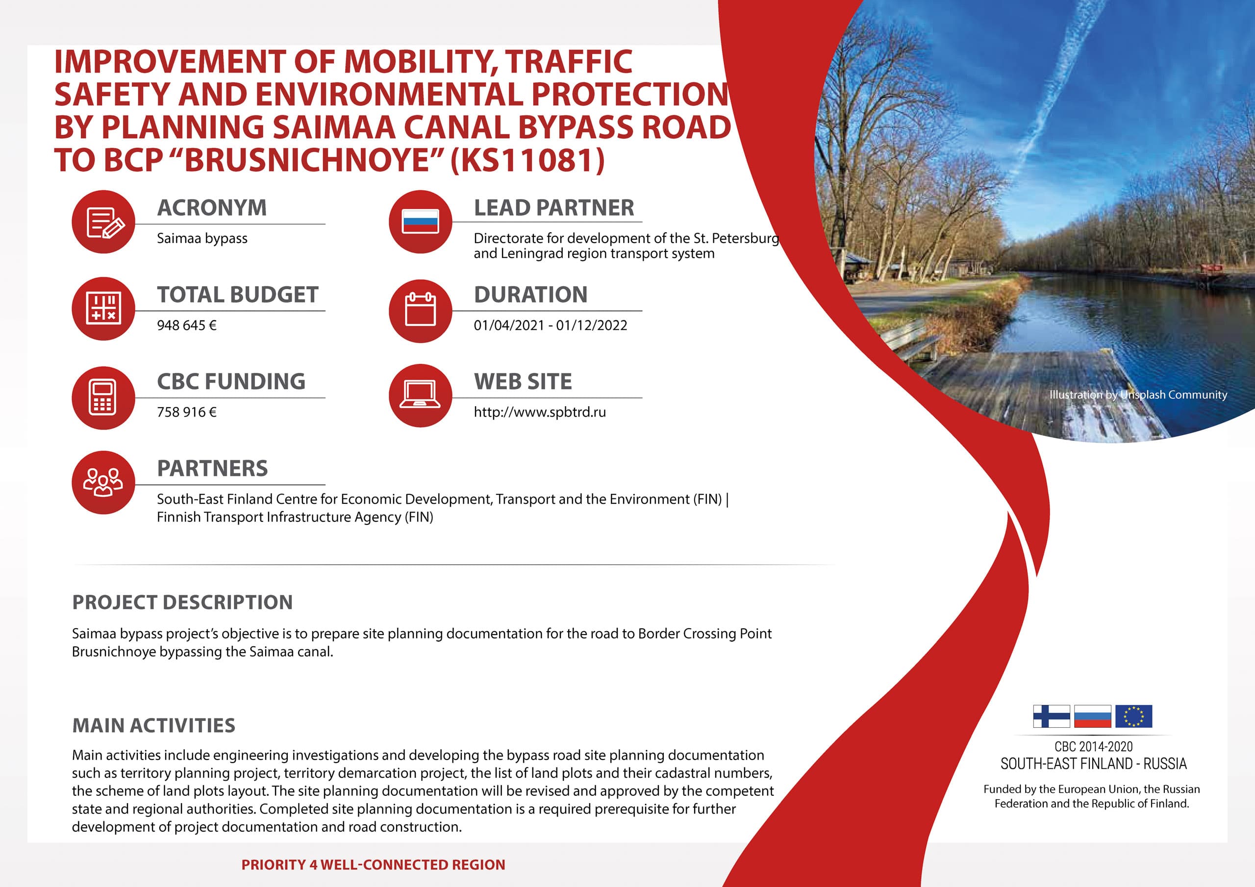
The objective of the project was to develop site planning documentation which will provide necessary conditions for land reservation for the purpose of construction of the perspective road to BCP Brusnichnoye. Existence of the completed site planning documentation and reserved land is a major precondition for receiving federal financing for technical design and construction of the road.
The existing road to BCP Brusnichnoye that is leased out by Finland up to 2062 was constructed in 1960s as a service road for maintaining Saimaa Сanal. Until now, the road has never been reconstructed with respect to expansion of carriageway or changes in route. Technical parameters of the road do not meet the requirements for current traffic density, which in its turn negatively influences road capacity and safety.
Parameters of the existing road do not match the requirements of international transport route. However, the route itself was in high demand since it is integrated in ninth Trans- European corridor, international transport corridor “North-South” and international road corridor “Europe – Western China”.
The process of development of site planning documantation implied several stages:
1) Engineering investigations
2) Developing site planning documentation (territory-planning project, territory demarcation project, preparation of list of land plots and their cadastral numbers, preparation of scheme of land plots layout).
3) Approval of the documantation by repsective authorities.
As of the end of 2021 the first stage of project implementation was successfuly done and engineering investigations were carried out including Geodesic investigations, Geological investigations, Hydro-meteorological investigations and ecological investigation.
In 2022 based on the results of enginnering investigations Directorate continued project works regarding site planning documentation developement. The project had been implemented until the European Commisison made the decision to suspend all project works in March 2022.
At the time of project suspension, the following second stage work were performed:
1.Requests were formed and sent to the executive bodies of state and municipal authorities, balance holders of existing engineering networks in order to provide initial data for the preparation of DPT, including obtaining technical requirements and conditions from networks owners. The analysis of the received initial data was carried out.
2. Received initial data on real estate objects (land plots) in the form of extracts from the Unified State Register of Real Estate, cadastral plans of the territory.
3. An analysis of the materials of the Forestry Regulations of the North-Western Forestry of the Leningrad Region was carried out, graphic materials were prepared showing the boundaries of forestries, district forestries, forest quarters, forest taxation allotments on the design area.
4. A transport and economic research has been prepared, including an analysis of the socio-economic characteristics of the attraction zone, a forecast of socio-economic development, a survey of the existing traffic intensity and the calculation of the prospective traffic intensity and the load level of the road network.
View this project in keep.eu